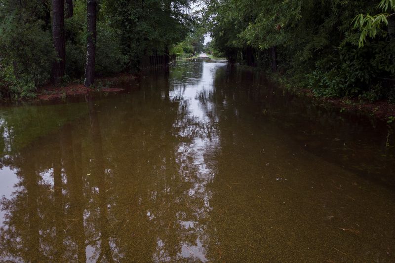
Debby picks up speed, spreading heavy rain along US East Coast
2024.08.09 09:31
(Reuters) – A weakened Debby churned further north along the U.S. East Coast on Friday, spawning tornadoes and spreading heavy rains that could cause catastrophic flooding from Maryland to Vermont before the one-time hurricane blows out to sea.
The National Weather Service issued flood warnings and tornado watches for an area stretching from coastal Georgia to New England, as the storm moved northeast at 35 miles (56 km) an hour, considerably faster than earlier in the week.
The storm, which was downgraded to a post-tropical depression, was centered over northern Virginia early on Friday morning.
Since it made its first landfall as a Category 1 hurricane on Florida’s Gulf Coast on Monday, Debby has submerged homes and roadways, and forced evacuations and water rescues as it slowly crawled up the Eastern Seaboard.
The National Weather Service fielded reports of a handful of tornadoes since Thursday, including a confirmed twister near Marshallton, Delaware. There were no reported casualties or damage in that incident.
Earlier, a twister killed a man when his house collapsed in Wilson County in eastern North Carolina. It damaged at least 10 houses, a church and a school.
North and South Carolina have been hit hardest by Debby’s prodigious rainfall. The storm is expected to produce another 3 to 6 inches of rainfall across portions of southeastern North Carolina leading to maximum storm total amounts as high as 15 inches.
Additional rainfall of 1 to 3 inches over portions of eastern South Carolina will bring maximum storm total amounts as high as a staggering 25 inches.

Further north, about 10 inches of rain were forecast to accumulate in Virginia, while 2 to 4 inches were expected for parts of Maryland to Vermont before Debby is done.
In the wake of Debby, a sweltering heat wave was forecast for Florida and the Deep South on Friday. Temperatures were expected to reach well above 100 degrees Fahrenheit (37 C) across the region.


